Cornwall · PL15
Drone services in Launceston
A hilltop former county town catching weather off two moors, where slate hanging is a structural necessity and the historic core is tightly packed.
High, open and hit from both sides
Launceston stands on a hill above the Kensey with Bodmin Moor to the south-west and Dartmoor not far east, and it catches weather coming off both. Wind-driven rain from the south-west is the defining condition.
That is precisely why slate hanging is so common on exposed elevations in this town. It is not decoration; it is a wall covering doing a job that render alone would not do here.
When hanging fails it goes at the top edge or at a junction, and the wall behind it starts taking water directly. Photographs of a hung elevation from a few metres out show the pattern of loss clearly enough to price a repair rather than a rebuild.
The height of the town also means chimney stacks stand well clear of anything sheltering them, and stack bedding and flaunching take a corresponding beating.
Rain arriving at an angle is the specific problem. A vertical wall takes very little water in most weather and a great deal of it here, which is what wears out the fixings behind a hung elevation.
A walled medieval core
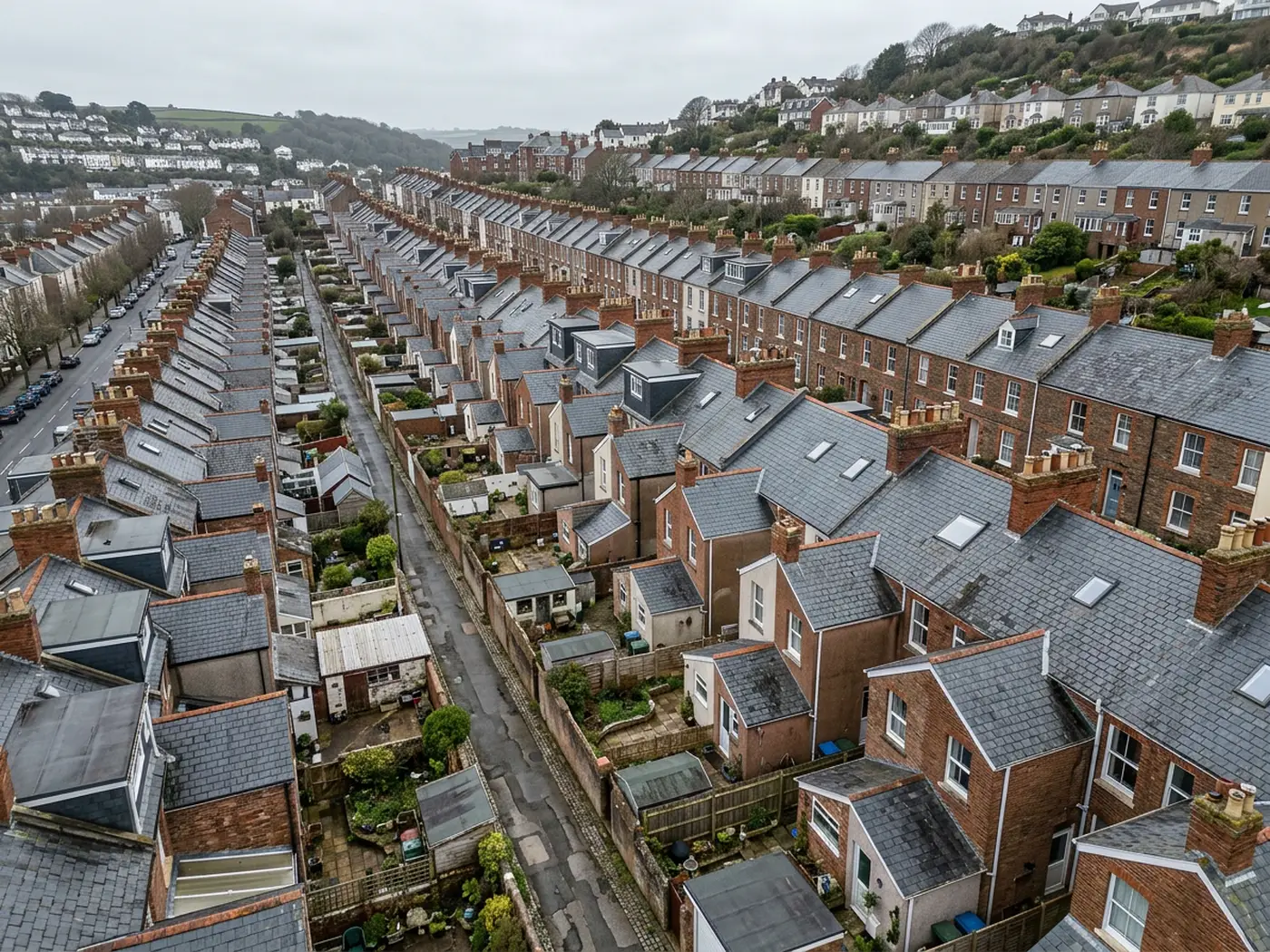
The old core inside the walls is tight, with Georgian frontages, slate hung and rendered townhouses, and the castle motte at the summit above it all.
Streets there are narrow and the buildings are close, so scaffolding means a licence and an arrangement with neighbours before anything else happens.
Listed status is common, which makes a record of the existing detail before work a routine requirement rather than an unusual one.
The roofs interlock in the way historic town roofs always do, with valleys, abutments and small flat sections added at different periods.
The gradient inside the walls means one building sits above another, so a failure on an upper roof often shows first in a lower property, and establishing which is which is the awkward part.
The flatter ground and the A30
Down by the A30 the modern estates and industrial units are a different proposition entirely: conventional tile on the housing and large-span sheet on the units.
Industrial roofs there generate the usual list of corroded sheets, brittle rooflights and valley gutters filling with debris, none of which anybody looks at until water reaches stock.
The estates generate the ordinary domestic findings, and both are straightforward to fly because access and open ground are not a problem on that side of town.
The Kensey valley and the wider area
The valley below the town and the farmland around it produce land, barn and boundary work, with the added complication that the county border runs close by and holdings often straddle it.
Travel from Exeter is a significant run down the A30, so jobs here are planned rather than fitted in, and combining two or three in a trip makes better sense for everyone.
The steam railway and the castle bring occasional heritage recording work, usually a structure in its setting rather than a roof condition question.
Boundary questions are common where holdings straddle the county line, and a dated top-down record of what is physically on the ground is a useful thing to have alongside the paperwork.
Where to go next
Booking something in Launceston
Behind the survey
What people in Launceston are actually buying
CAA registered operator
Operator ID and Flyer ID both held and current with the Civil Aviation Authority, which is the baseline for flying commercially in UK airspace.
A2 Certificate of Competency
The A2 CofC, which allows closer flying to buildings and to people not involved in the flight than the basic qualification does. It does not extend to flying over crowds, and nothing on this site suggests it might.
DJI Mavic 4 Pro
A 100 megapixel Hasselblad camera and 6K video. Enough resolution that one flight can produce both a photograph fit to print and a frame close enough to read a hairline crack.
DJI Mavic 2 Enterprise Advanced
A 640 by 512 radiometric thermal camera for the jobs where the answer is a temperature difference rather than something visible: trapped moisture, heat leaving a building, a warm shape on cold ground.
Insured with Coverdrone
Full commercial cover, and the certificate goes to anyone who needs to see it before a visit. Managing agents and site managers usually do, and asking is sensible rather than awkward.
A construction background
The person flying has worked in construction, which is why the report says what a defect is and where it sits rather than only that something looks wrong in a photograph.
Fixed price, agreed first
The price is set before the visit and travel inside the coverage area is part of it. No hourly creep, no mileage added afterwards.
Written report within 48 hours
Where the job needs a report, it lands within 48 hours of the flight. Photograph-only jobs have their delivery date agreed at booking instead.
Nearby
Also covered around Launceston
- BudeAn Atlantic surf town as exposed as anywhere here, where cliff-top estates lose ridge tiles most winters and holiday stock sits unwatched between seasons.
- HolsworthyAn open Culm Measures plateau town where farms dominate, ground is heavy clay, and agricultural roofs are the single biggest category of work.
- TavistockA green stone Victorian town between Dartmoor and the Tamar, with tall stone stacks, steep sites and a mining heritage landscape around it.
- LiskeardA high mining town with substantial stone buildings and terraced cottages, where above average rainfall and constant driving rain set the maintenance pace.
See which one fits
Tell us what you need in Launceston
Send the address and what is worrying you. Sam Hembury will come back with a fixed price and the next slot that suits the weather.