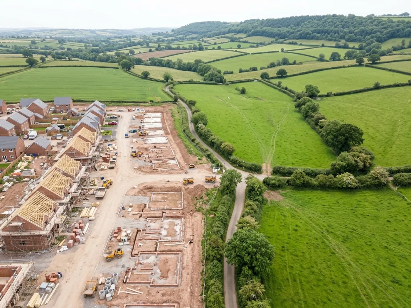
Devon · EX13
Drone services in Axminster
A hilltop town open to wind from every quarter, with former mill and factory buildings that bring large-span roofs into an otherwise domestic mix.
Standing above everything around it
The town sits on a hilltop above the Axe with the ground dropping away on three sides, which leaves it open to wind from every direction rather than one prevailing one. That is unusual, and it changes the failure pattern: instead of one consistently battered elevation, damage turns up anywhere depending on which storm did it.
The valley below funnels damp air upward as well, so exposed ridge and verge details take both the wind and the wetting. Mortar bedding on a hilltop ridge here has a harder life than the same detail in a sheltered valley town twenty minutes away.
Frost matters here as well. The hilltop holds cold longer than the valley, and freeze and thaw cycling on already-damp mortar is one of the slower ways a ridge or a verge gives up, invisible until a section moves.
Mill and factory buildings in a small town
The former carpet factory and mill buildings give Axminster a stock of large-span roofs that a town this size would not normally carry: metal sheet, asbestos cement and long valley gutters, much of it now in secondary use.
Those roofs are the classic case for an overhead pass. They are large, they are hard to walk safely, the material is often something nobody wants to disturb, and the useful questions, corroded sheets, cracked panels, blocked valleys, all answer from directly above.
Where asbestos cement is involved the argument for photographing rather than climbing is stronger still, because the safest inspection is the one where nobody sets foot on the sheet at all.
The Georgian centre and the estates
Around the church and market square the stock is Georgian and Victorian with slate and clay plain tile, tightly arranged and awkward to reach. North of the town the post-war estates on the higher ground are conventional and easy, though they catch more wind than their design assumes.
The mix means a straightforward domestic survey and a complicated commercial one can be a few hundred metres apart, and the two need different flight plans.
Between the two extremes sits a large amount of ordinary Victorian terraced housing, where the recurring findings are perished pointing on stacks, slipped slates on the shaded slope and gutters that have not been cleared in years.
Land, the border and the wider valley
Sitting close to the Dorset border, the town serves a wide rural area, and land enquiries come in from both counties: field parcels, tracks, drainage and boundary questions along the Axe.
River valley land changes with the seasons more than most, so a dated record of what a parcel looked like in a given month is worth more here than an undated one, particularly where drainage or flooding is the actual subject.
Access on the surrounding farms is the practical limit rather than the flying. Heavy ground in winter makes gateways and yards difficult, which is another argument for a survey that does not need a vehicle or plant to reach the roof.
Where to go next
Booking something in Axminster
Behind the survey
What people in Axminster are actually buying
CAA registered operator
Operator ID and Flyer ID both held and current with the Civil Aviation Authority, which is the baseline for flying commercially in UK airspace.
A2 Certificate of Competency
The A2 CofC, which allows closer flying to buildings and to people not involved in the flight than the basic qualification does. It does not extend to flying over crowds, and nothing on this site suggests it might.
DJI Mavic 4 Pro
A 100 megapixel Hasselblad camera and 6K video. Enough resolution that one flight can produce both a photograph fit to print and a frame close enough to read a hairline crack.
DJI Mavic 2 Enterprise Advanced
A 640 by 512 radiometric thermal camera for the jobs where the answer is a temperature difference rather than something visible: trapped moisture, heat leaving a building, a warm shape on cold ground.
Insured with Coverdrone
Full commercial cover, and the certificate goes to anyone who needs to see it before a visit. Managing agents and site managers usually do, and asking is sensible rather than awkward.
A construction background
The person flying has worked in construction, which is why the report says what a defect is and where it sits rather than only that something looks wrong in a photograph.
Fixed price, agreed first
The price is set before the visit and travel inside the coverage area is part of it. No hourly creep, no mileage added afterwards.
Written report within 48 hours
Where the job needs a report, it lands within 48 hours of the flight. Photograph-only jobs have their delivery date agreed at booking instead.
Nearby
Also covered around Axminster
- HonitonA long Georgian high street under the Blackdowns, where sitting fog keeps roofs wet and a uniform frontage hides complicated roofwork behind it.
- SeatonSeafront terraces and a large bungalow stock a few metres from a shingle beach, which makes gale-driven rain and shallow pitches the recurring theme.
- Lyme RegisA harbour town built into an actively moving landslip coast, where ground movement shows up in ridge lines and flashings before it shows anywhere else.
- ChardThe highest town in Somerset, exposed on a ridge from every direction, with a lace mill legacy and hamstone detailing that weathers on its own timetable.
See which one fits
Tell us what you need in Axminster
Send the address and what is worrying you. Sam Hembury will come back with a fixed price and the next slot that suits the weather.