Devon · EX38
Drone services in Great Torrington
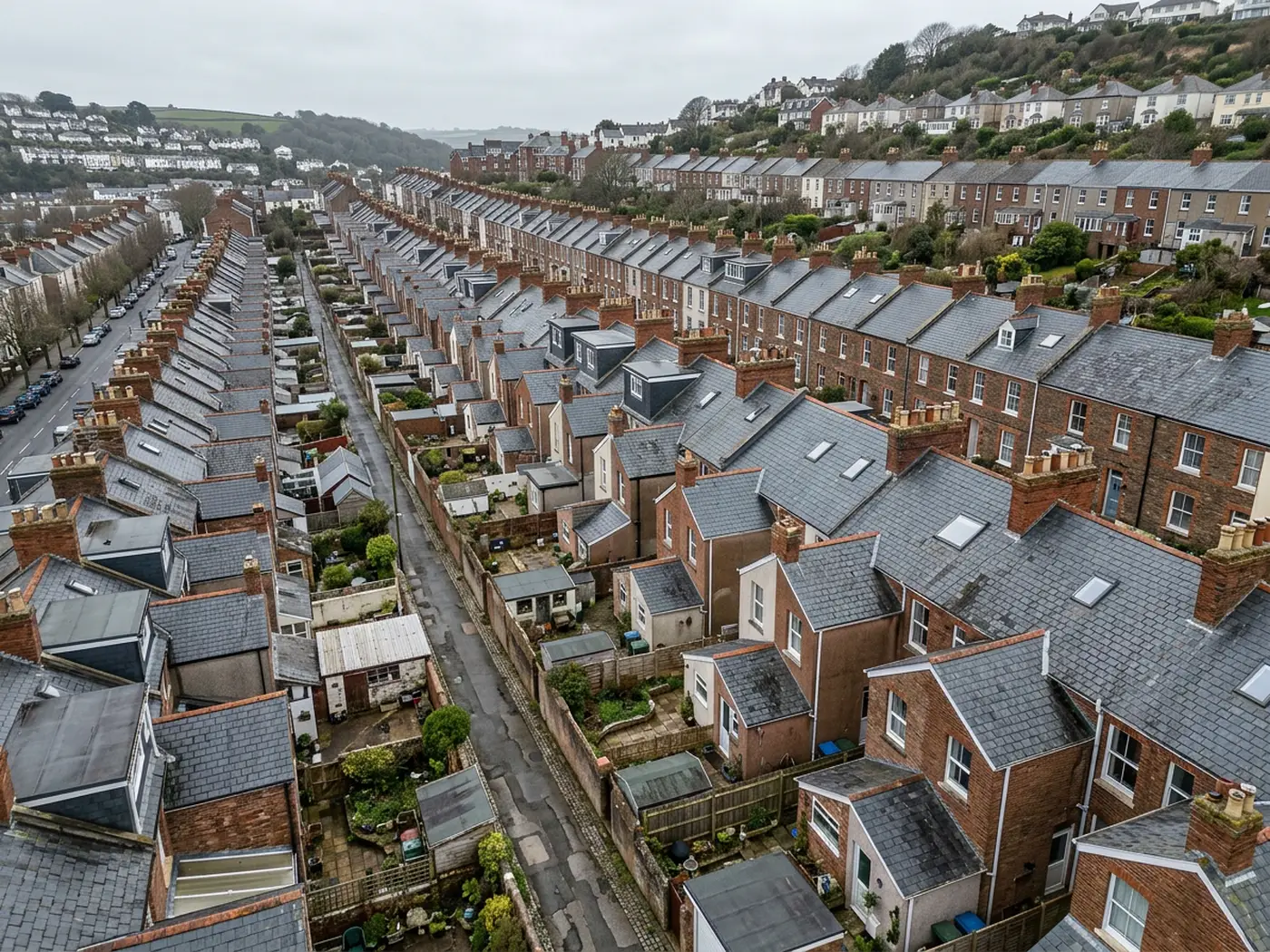
A hilltop town standing above everything around it, where wind arrives from every direction and an industrial legacy adds large roofs to a small place.
Standing on a bluff
The town sits on a bluff high above a loop of the Torridge with commons and steep wooded slopes falling away on three sides. It stands above its surroundings rather than sheltering in them.
That means wind loading is high from every direction rather than one, and driving rain finds any weakness in mortar and flashing regardless of which way a wall faces.
The practical result is that there is no sheltered elevation here. On most buildings one side takes the worst of it; on a bluff every side takes a turn.
Ridge and verge details, chimney flaunching and pointing all show that, and they show it evenly rather than in a pattern an owner can predict.
Frost adds to it at this height. Mortar that stays wet through a winter loses its face to freeze and thaw cycling, and a verge that was tired in October can be properly loose by March.
An industrial legacy in a market town
The glassworks and creamery legacy left the town with larger roofs than a market town of this size would normally carry, and much of that stock is now in secondary use.
Large-span roofs bring their own list: corroded sheeting, brittle rooflights, valley gutters filling with debris and plant sitting on penetrations that nobody has looked at.
Those roofs are difficult and often unsafe to walk, which makes an overhead pass the proportionate way to answer a condition question about one.
The Georgian and Victorian centre around the square is the other half, tightly arranged with slate and clay plain tile and awkward access on the older streets.
Corrugated metal on outbuildings around the town is the other regular subject, and it rusts from the underside where nobody can see it, so a sheet can look serviceable from below and be finished from above.
The commons, the river and land work
Torrington Commons and the wooded slopes generate land and access work rather than building work: ground cover, paths, boundaries and drainage across terrain that is slow to walk.
The Torridge loop below the town changes with the seasons, so a dated record of a parcel is worth more than an undated one where drainage or flooding is the subject.
Farmland around the town brings the standard agricultural mix of sheds, tracks and boundaries.
River level and ground conditions also decide when land work is worth doing here, because a parcel that reads clearly in a dry spell tells a very different story after a wet fortnight, and the wet version is usually the one in dispute.
Rosemoor, the crystal works and the visual side
RHS Rosemoor and Dartington Crystal give the town two significant visitor destinations, and destinations of that kind need images that show a whole site rather than one view of it.
Garden and estate photography also has a seasonal shape, since the useful image is the one taken when the planting is doing something, and that is a narrow window rather than a whole summer.
Post-war estates on the plateau round out the domestic work, conventional roofs generating the ordinary findings, accelerated by the exposure of the position.
Travel from base is a fair run into North Devon, so jobs here are planned and usually paired rather than treated as call-outs.
Where to go next
Booking something in Great Torrington
Behind the survey
What people in Great Torrington are actually buying
CAA registered operator
Operator ID and Flyer ID both held and current with the Civil Aviation Authority, which is the baseline for flying commercially in UK airspace.
A2 Certificate of Competency
The A2 CofC, which allows closer flying to buildings and to people not involved in the flight than the basic qualification does. It does not extend to flying over crowds, and nothing on this site suggests it might.
DJI Mavic 4 Pro
A 100 megapixel Hasselblad camera and 6K video. Enough resolution that one flight can produce both a photograph fit to print and a frame close enough to read a hairline crack.
DJI Mavic 2 Enterprise Advanced
A 640 by 512 radiometric thermal camera for the jobs where the answer is a temperature difference rather than something visible: trapped moisture, heat leaving a building, a warm shape on cold ground.
Insured with Coverdrone
Full commercial cover, and the certificate goes to anyone who needs to see it before a visit. Managing agents and site managers usually do, and asking is sensible rather than awkward.
A construction background
The person flying has worked in construction, which is why the report says what a defect is and where it sits rather than only that something looks wrong in a photograph.
Fixed price, agreed first
The price is set before the visit and travel inside the coverage area is part of it. No hourly creep, no mileage added afterwards.
Written report within 48 hours
Where the job needs a report, it lands within 48 hours of the flight. Photograph-only jobs have their delivery date agreed at booking instead.
Nearby
Also covered around Great Torrington
- BidefordA steep former shipbuilding port on the Torridge, where slate hanging is a necessity and the old town's gradient rules out most conventional access.
- BarnstapleNorth Devon's main town, where high rainfall and long wetting periods do the damage, and the trading estates carry as much roof area as the housing does.
- HolsworthyAn open Culm Measures plateau town where farms dominate, ground is heavy clay, and agricultural roofs are the single biggest category of work.
- OkehamptonThe wettest, windiest town on the list, at the foot of the high moor, where farm buildings and open ground matter as much as the town itself.
See which one fits
Tell us what you need in Great Torrington
Send the address and what is worrying you. Sam Hembury will come back with a fixed price and the next slot that suits the weather.